
La Vergne ZIP Code Coverage
La Vergne has two identified postal ZIPs, plus two Census ZCTAs that intersect the city’s geography without becoming general local delivery ZIPs. A ZCTA is a Census statistical geography, not a Postal Service delivery rule. For ordinary address work, 37086 is the standard delivery area. ZIP 37089 is a unique institutional ZIP associated in postal descriptions with Ingram Entertainment Group.
| ZIP | Areas covered | Post office or type | Local record note |
|---|---|---|---|
| 37086 | Central La Vergne and most ordinary street addresses in Rutherford County | La Vergne, TN postal city; standard ZIP | Primary delivery ZIP; confirm the exact address and ZIP+4 with USPS |
| 37089 | Institution-specific La Vergne service associated with Ingram Entertainment Group | Unique or single-institution ZIP | Not a normal neighborhood-wide search area; verify the exact address |
| 37135 | Intersects La Vergne city geography in Census data | Nolensville-area postal routing | A ZCTA intersection does not establish a La Vergne delivery address |
| 37167 | Intersects La Vergne city geography in Census data | Smyrna-area postal routing | Use for Census comparison only, then verify the street address with USPS |
The Census profile lists 37086, 37135, and 37167 among related geographies, while postal directories identify 37086 and 37089 as the La Vergne ZIPs. That difference is the key postal-boundary caution. Note: A city name on mail does not independently prove the municipal location of a parcel.
La Vergne 37086 Delivery Area
ZIP 37086 is the standard La Vergne delivery area and covers central La Vergne with most regular street addresses. It is a strong mailing clue, but not a line around the city. A La Vergne mailing ZIP can reach nearby unincorporated or cross-county addresses, and a parcel inside a municipal boundary can use a different postal city. Record the returned mailing city and ZIP+4 separately from the assessor’s physical address and the GIS city or planning-jurisdiction fields.
Use the official USPS ZIP Code Lookup to standardize a full address and obtain the proper city, state, ZIP, and ZIP+4 where available.
USPS is the final mailing check. It does not decide whether an address is inside La Vergne city limits, and it does not replace the parcel or jurisdiction fields used for that question.
La Vergne Postal Boundaries
Four descriptions can refer to the same address without matching: ZIP, mailing city, city limit, and parcel situs. The situs address is the physical location shown on a parcel record. Postal routing serves delivery, while the Census place is a statistical boundary. Rutherford County tax and planning jurisdictions add further boundaries. When one source lists 37086 but the map’s City, City_Percent, or Planning_Jurisdiction fields differ, treat that as a question for GIS or Planning rather than a reason to overwrite a record.
Boundary check. Use ZIP and ZIP+4 to verify mail delivery, then use Rutherford GIS municipal and planning fields to test the local government boundary for that parcel.
Neither 37135 nor 37167 was verified as a general La Vergne delivery ZIP. Their ZCTA overlap is useful for a Census comparison, but a ZCTA-city intersection cannot show that a given street receives mail under that ZIP. This geographic difference is particularly important as La Vergne grew from fewer than 1,000 people through 1959 to 38,719 in the 2020 Census. Older and newer address sources can describe very different development periods.
Search La Vergne by ZIP
There is no verified one-click ZIP roster in the local public portals. A ZIP search needs an exact-address check followed by parcel and jurisdiction work. TPAD supports a property address but its visible advanced field list does not show a dedicated ZIP filter. GIS includes physical and mailing ZIP fields and may support a map-service query, although the public viewer’s exact ZIP filter has not been documented. The voter lookup has no ZIP field at all.
- Enter the full mailing address in the USPS lookup and save the standardized city, ZIP, and ZIP+4.
- Search the address in TPAD or WebPro. Confirm the physical address, parcel ID, owner field, and legal description.
- Open the parcel in Rutherford GIS. Compare its ZIP fields with City, City_Percent, Planning_Jurisdiction, and district fields.
- For a street-level parcel review after the ZIP is narrowed, use the La Vergne street directory method rather than assuming a ZIP result represents every address.
- For voter information, use the state’s individual form for one person or ask Elections about the permitted city ward, commission district, or county formats. Do not describe a ZIP as a voter-search field.
City archive searches use keywords, archive, time period, and date range instead of a ZIP field. A city public-records request can describe a defined ZIP and address range, but the custodian may require an existing record description and does not have to create a new ZIP table.
La Vergne Property ZIP Fields
The Tennessee Property Assessment Data advanced search is useful once USPS has standardized the address. It searches property records, not a ZIP-wide directory. Its County selector, Property Address field, parcel components, and result sort choices make it a good way to examine a known address or road segment. Then compare the record’s parcel ID with the GIS physical-address fields.
| TPAD field | Type | Required | ZIP-related use or format |
|---|---|---|---|
| County | Select | Yes for a county search | Choose Rutherford County |
| Property Address | Text | No | Use the USPS-standardized address; no dedicated ZIP control was visible |
| Owner Name | Text | No | Cross-check a recorded owner after an address result |
| Subdivision Name | Text | No | Useful when several addresses share a development name |
| Control Map, Group, Parcel | Separate parcel fields | No | Second identifier for a known property |
| Sort By | Choice | No | Owner, property address, parcel ID, subdivision, classification, or sale date |
The TPAD advanced-search screen shows the address and parcel fields available before a result is opened.
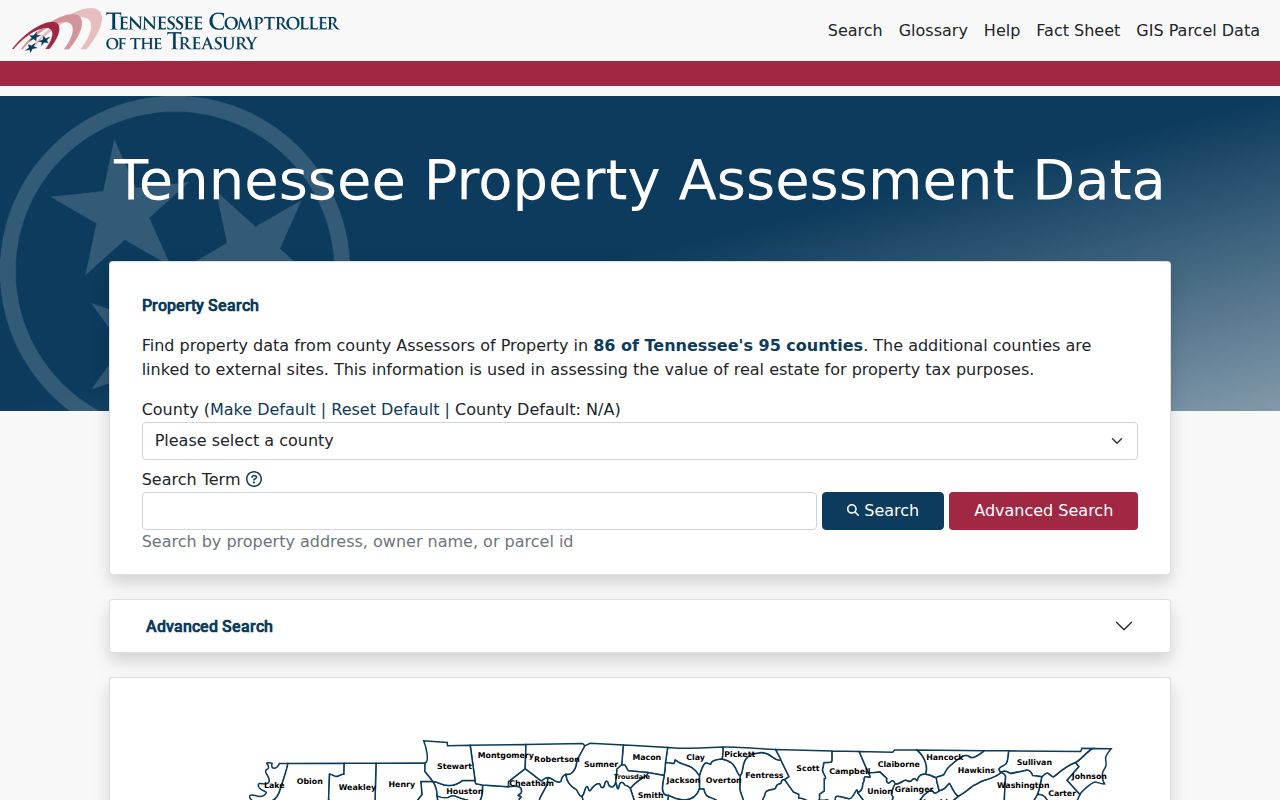
TPAD results can show owner, property address, control map, group, parcel, combined parcel ID, subdivision, lot, classification, sale date, and GIS Map. The assessor’s physical counter at 319 N. Maple Street, Suite 200, Murfreesboro, 615-898-7750, is the alternative route when a current record or copy needs custodian review.
La Vergne GIS Postal Checks
Rutherford GIS is the place to test a postal result against parcel geography. The map can carry owner mailing fields, physical address fields, city and ZIP+4, zoning, special and fire districts, Planning_Jurisdiction, values, deed data, and legal descriptions. Search or zoom to the exact location, click the parcel, and record the source date along with the displayed fields. For an address on a boundary, compare the parcel view with the city’s Planning or Engineering contacts before reaching a conclusion.
The Rutherford County GIS page provides the Data Hub and County Map route.
County GIS warns that its layers are not legally binding or certified and that independent verification is required. The map is therefore useful for orientation and cross-checking, while a recorded deed, plat, assessor card, or the relevant government office supplies the next verification step.
La Vergne Voter ZIP Limits
The Tennessee Voter Registration Lookup requires county, first name, last name, birth month, and birth year. It is an individual verification form, and ZIP is not one of its fields. It can help confirm a current registration status for a person when the required identity data are known, but it cannot produce a ZIP-wide list and it is not a historical address source.
Rutherford’s county voter-data route is separate. Under T.C.A. § 2-2-138, the Elections Office documents CD electronic data, printed lists, and printed labels. The CD format can be limited to a city ward, commission district, or all county and carries one to ten years of voter history for $50. Lists are $0.02 per voter and labels are $0.25 each. A written request goes by fax at 615-217-7144 or email, and the office calls when it is ready. The office at 1 S. Public Square, Suite 103, Murfreesboro, can confirm the permitted geography and current form details at 615-898-7743.
For any returned voter record, save the displayed current-data date. A no-match, inactive result, or different mailing address needs a check with Elections and an independent parcel or family-history source. Voter history can show elections participated in, never ballot choices.
La Vergne Postal History
Older local records often predate modern ZIP habits. Search LaVergne as well as La Vergne, Buchananville, and Mountain View when working with deeds, directories, maps, or cemetery and family-place references. The city changed its official name from LaVergne to La Vergne in 1987. Its late-1950s Men’s Club street naming also means an old road, tract, or family name may be more useful than the modern street string.
Verified Polk directory catalog years are 1994, 1996, 1998 through 2001, 2003, and 2005. A reverse section for La Vergne was not verified. The Historical Research Center within the Archives offers books, microfilm, periodicals, scanners, and access to Ancestry Library, Newspapers.com, and FamilySearch Affiliate resources with weekday staff. The Nashville Public Library catalog and local history rooms are the shelf and catalog alternatives when a postal clue is too modern for an older address source.
Note: Preserve the old place or road wording from the source and record the separate modern parcel match when one can be verified.
La Vergne ZIP Terms
These terms keep postal and property results from being merged into one claim.
- ZIP and ZIP+4
- A ZIP routes mail broadly. ZIP+4 adds a more precise delivery segment and is confirmed from the exact USPS-standardized address.
- PO-box ZIP
- A ZIP used for post office boxes rather than a general street-delivery area. No La Vergne PO-box-only ZIP was verified in the research.
- Unique ZIP
- A ZIP associated with one institution or organization. La Vergne 37089 is documented as an institutional ZIP and should not be treated as a neighborhood grid.
- Carrier route
- A Postal Service delivery grouping within a ZIP. It is more specific than the ZIP but does not define a city limit or parcel boundary.
For city-held material that is not online, use La Vergne public records to make a focused request for an existing record series and date range. The Tennessee Public Records Act can require a response action within seven business days when records are not promptly available. It does not require a custodian to generate a new postal directory.