
La Vergne Neighbors by Parcel
One address can support several different meanings of “neighbor”: a parcel sharing a boundary, a lot across the street, a street segment, a subdivision, a voting jurisdiction, or a postal area. The first two are best handled with official parcel and assessment records. Voter data has a separate, limited access path. Community groups offer a way to ask about meetings and public events, but they do not turn into a public membership list. Keep the source and the precise meaning of the block beside every result.
| Source | What It Shows About a Block | Access |
|---|---|---|
| Rutherford GIS | Parcel geometry, adjacent lot IDs, owner and mailing fields, situs address, districts, and zoning | Free County Map or Data Hub; map layers are not certified |
| WebPro and TPAD | Assessed parcel, owner, mailing and physical address, value, sale, exemption, and deed-reference fields | Free property-search portals or assessor counter |
| Register deeds and plats | Recorded ownership trail, lot or block, legal description, and plat boundary clues | Title-search route, Register counter, archive, or microfilm route |
| Rutherford voter data | Permitted voter-list or label fields by ordered jurisdiction or household format | Individual status lookup or paid Election Commission order |
| Community Relations | Neighborhood Watch and public safety-event contact routes | City contact route; no HOA member directory located |
The owner field is a connection to a parcel, not a household census. The property card may carry a mailing address away from the lot, and people who live at a location may not appear in assessment data. Begin with the geometry and test every later clue against the source that actually holds it.
Define La Vergne Neighbors First
Write down the boundary before collecting any parcel names. “Adjacent” can mean a shared line, a lot across a public street, a common-drive parcel, or a tract that touches at only one corner. “Nearby” is broader and should not be presented as adjacency. A voting district, subdivision, and ZIP area are still different sets. GIS can establish a mapped spatial relationship; an assessor record can establish a parcel association; neither proves friendship, household membership, consent to contact, or a current living arrangement.
A defensible block note includes the subject parcel, each included parcel ID, the reason for inclusion, the map date, and the scale or layer date when displayed. Mark an across-street lot as across street. Mark a corner or large tract with its relevant frontage. If a map label is uncertain, use the assessment card and a recorded plat to resolve it rather than expanding the block by guesswork. This small discipline keeps a La Vergne neighbors search tied to visible geography instead of a vague radius.
Map La Vergne Neighbor Parcels
Rutherford County’s GIS/Data Hub is the right orientation tool for the immediate block. Locate the subject parcel by address or parcel ID, open its popup, and click each polygon sharing a boundary or immediately across the mapped street. Record the parcel ID, physical address, owner and mailing fields, zoning or district, and deed reference where shown. The county says its map layers are periodically refreshed, not legally binding or certified, and require independent verification. Use the map to discover adjoining parcels, then confirm important results with an assessor card, plat, or recorded instrument.
Rutherford County GIS links the County Map and Data Hub used for a manual adjacency review around a La Vergne address.
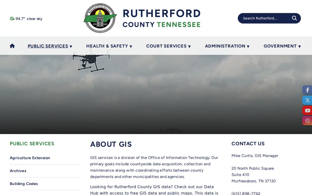
The captured landing page establishes the map route, but it does not verify a live neighbor, buffer, or radius control. For that reason, use a visual click list when the viewer does not expose a documented tool. A corner parcel, common drive, large tract, or parcel across a street needs a written reason for inclusion.
- Search the subject address or parcel ID in the County Map, then note the map date and parcel-layer date if the viewer displays them.
- Open the subject popup and save its parcel ID, physical address, and legal or deed reference before clicking outward.
- Click each touching polygon and any across-street polygon you intend to include. Mark which are boundary-adjacent and which are only nearby.
- Open the matching assessment card to test the owner and situs fields. Use a plat or deed when a boundary matters.
- For a whole named street rather than one block, switch to the La Vergne by-street directory workflow.
Read La Vergne Address Fields
The assessor layer supplies the second check. WebPro accepts an owner name, street name, or map-and-parcel search, with three or more characters and a last-name-first name format without a comma. Its printable card, building-details, historical-data, and export controls can preserve a result. TPAD adds property address, owner, subdivision, classification, sale-date, and parcel-component fields, then permits sorting by owner, property address, parcel ID, subdivision, classification, or sale date.
Rutherford County Property Assessor WebPro displays the property-search controls used to check a parcel found in GIS.
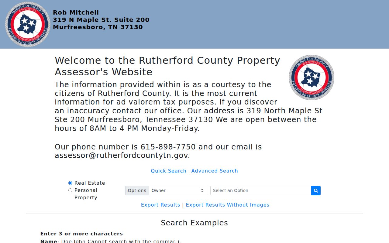
Read the physical or situs address separately from Owner_Mailing_Address. The latter may point to a post office box, trust, financial institution, relative, or a location outside Rutherford County. A homestead exemption can support an owner-occupancy claim, but it does not prove that every person at the address is a neighbor or even identify all occupants.
The Tennessee Property Assessment Data advanced search gives a second official route when a street-only, subdivision, classification, sale-date, or parcel-component search is more practical.
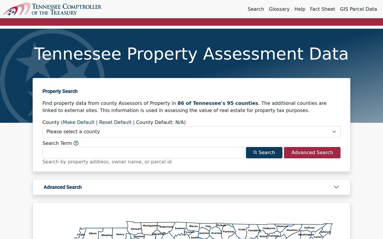
TPAD is useful for sorting a set of assessed parcels, but it does not make a result a complete block roster. Keep parcel association, mailing location, and confirmed physical location in separate columns.
La Vergne Neighbor Voter Limits
Tennessee’s individual voter lookup is not an address browse tool. It requires county, first name, last name, birth month, and birth year. It can help verify a person’s current registration or absentee status as permitted, but it cannot produce a street-wide result by entering a La Vergne address. A no-match or inactive status is not proof of a past or current location. Inactive status can reflect an address-confirmation mailing, and the voter record can change after a move or list-maintenance step.
Rutherford County explains that voter data may be ordered under T.C.A. § 2-2-138 for political purposes. The Election Commission lists electronic CD data, printed lists, and labels. The CD is the route for up to ten years of voter history and can be limited to a city ward, commission district, or all county. Printed lists can be by household, while voted lists cannot be by household. An order must follow the Election Commission’s current rules; it is not a substitute for the public individual form.
Rutherford County voter-data information describes the order formats, and the Tennessee voter lookup supplies the individual verification form. Neither reveals ballot choices. Do not use a permitted file to infer a hidden address, copy a block list into a narrative, or defeat a protected-address program.
Contacts for La Vergne Neighbors
Community contact paths can be more appropriate than trying to identify people around a block. Official city material documents Police Community Relations, Neighborhood Watch, Citizen’s Police Academy, Coffee with a Cop, National Night Out, and public community events. The source does not publish an HOA membership directory, a comprehensive neighborhood-association inventory, or an open member list. That absence matters. A meeting route can help a resident ask about a public event or safety concern without turning a community group into a directory of households.
La Vergne Police Community Relations is the source for the Neighborhood Watch and civic-contact route.
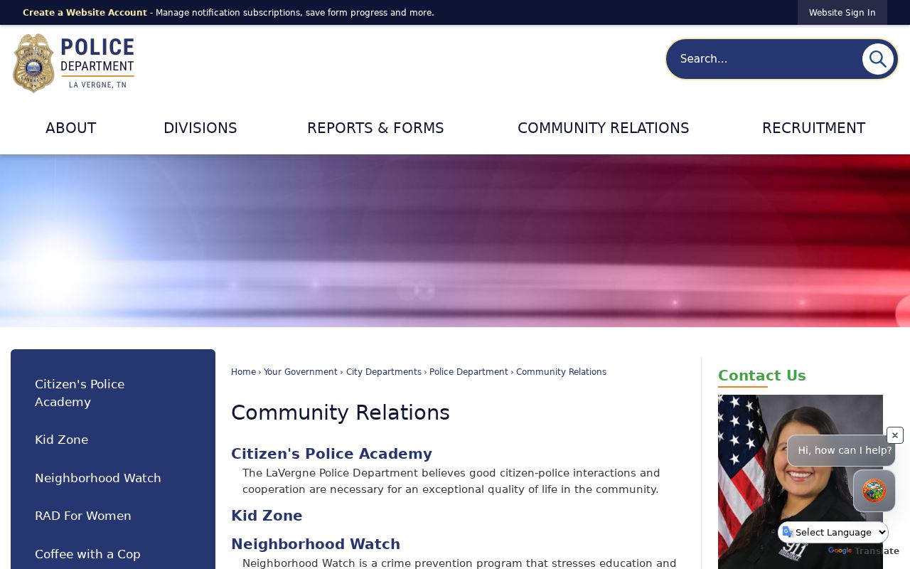
The page supports a contact route, not a roster. National Night Out at Veterans Memorial Park, Fall Festival civic-group booths, and Coffee with a Cop are public event contexts. They should not be used to conclude that a named individual belongs to a group.
Police Community Relations
Ask about Neighborhood Watch, Citizen’s Police Academy, Coffee with a Cop, or a public safety-event contact path. No member list was located.
Public Civic Events
National Night Out and Fall Festival can identify public organizations or meeting opportunities, not the people living around an address.
Rutherford County Chamber
The city directory lists the Chamber at 615-893-6565 for public business-directory questions. No member list was inspected.
La Vergne Neighbor Source Choices
Official property records and commercial neighbor-lookup tools serve different purposes. Commercial services may combine property, voter, phone, and brokered information, but the result can be stale, mismerged, incomplete, or expensive. It does not establish current occupancy or consent to contact. An official record has a defined custodian and record type, even when it has a narrower answer. Start with the record that fits the question, then preserve the search date and source link.
| Question | Official route | Commercial category limit |
|---|---|---|
| Which lots touch this parcel? | County GIS, then plat or deed confirmation | May flatten boundaries or give a broad proximity label |
| Who is tied to an assessed parcel? | WebPro or TPAD property card | May merge old owners, contacts, and addresses |
| Is there a community contact path? | Community Relations or a public event organizer | Does not create a verified group membership list |
The state’s Tennessee Information Protection Act applies to covered business data, subject to its terms and exceptions. It does not erase county deeds, assessment records, voter records, or court records. Errors in an official source belong with the original custodian, while a private-service opt-out or correction request belongs with that service.
Safe Boundaries for Neighbors
Several categories remain outside a verified public block method: other household members, children, private utility or delivery customers, unlisted numbers, sealed matters, and nonpublic association records. A current owner mailing address is not proof that the owner lives at the parcel. Tennessee’s Safe at Home Address Confidentiality Program provides a substitute government address for qualifying participants. It is free, can cover children, and does not erase older public records. It also cannot be used for property assessment, property-tax collection, or a recorded real-property document.
Tennessee Safe at Home information describes the protection and its limits. Do not attempt to reconstruct an actual protected address from a parcel, voter file, deed, permit, or another public source. Keep exact dates of birth, full identifiers, and unnecessary addresses out of a personal research note when they do not answer the block question.
Lawful use. Use La Vergne neighbor records for personal safety awareness, civic curiosity, reconnecting, or a public community contact. Never use them to watch, threaten, harass, intimidate, or harm anyone.